

Indian Geography Mapping: UPSC Notes
₹118.00
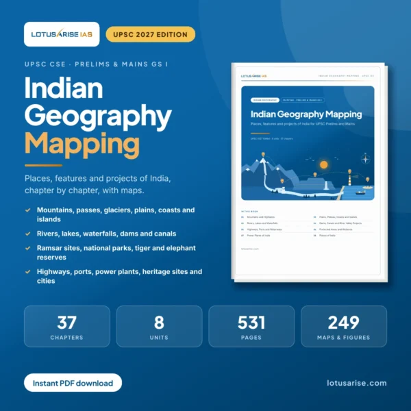
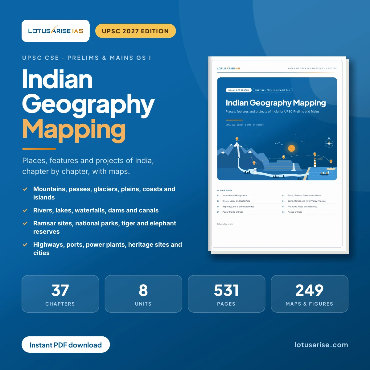
₹118 for 531 pages — about 22 paise a page. 2027 Edition.
Most aspirants leave mapping for the last week. A few atlas pages flipped before Prelims. A list of national parks saved from a Telegram post. Ramsar sites from an old PDF that is now 20+ sites out of date. Then UPSC asks which state a pass, a lake or a tiger reserve lies in — and the elimination falls apart.
Indian Geography Mapping: UPSC Notes puts every place you need in one updated book.
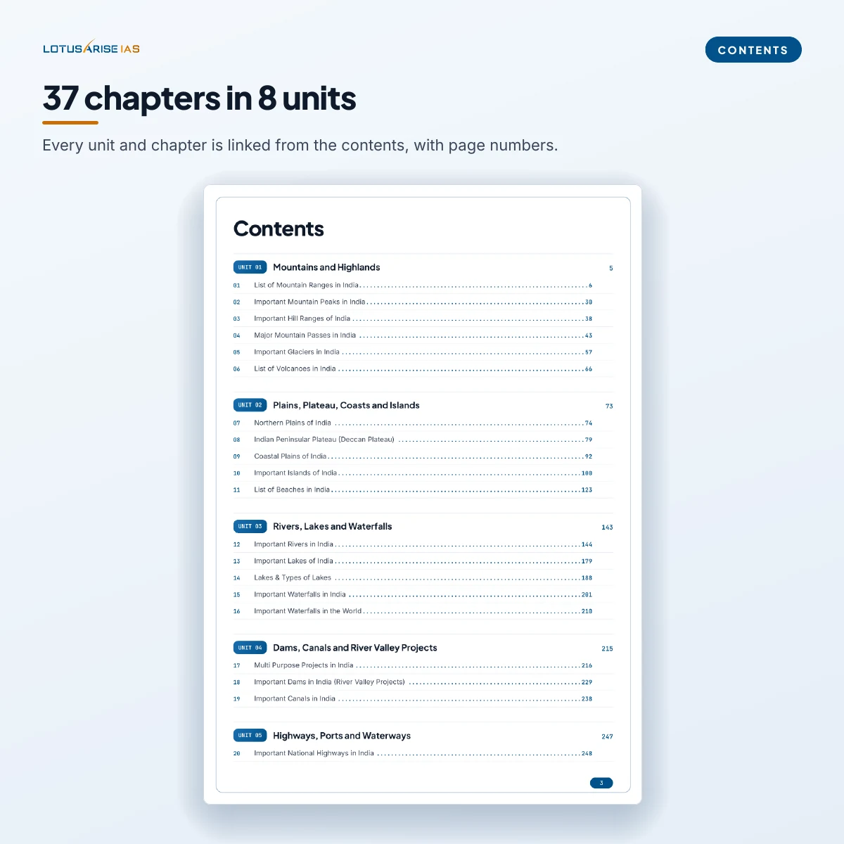
🗺️ 37 chapters in 8 units — mountains to ports, rivers to heritage sites, in one sequence
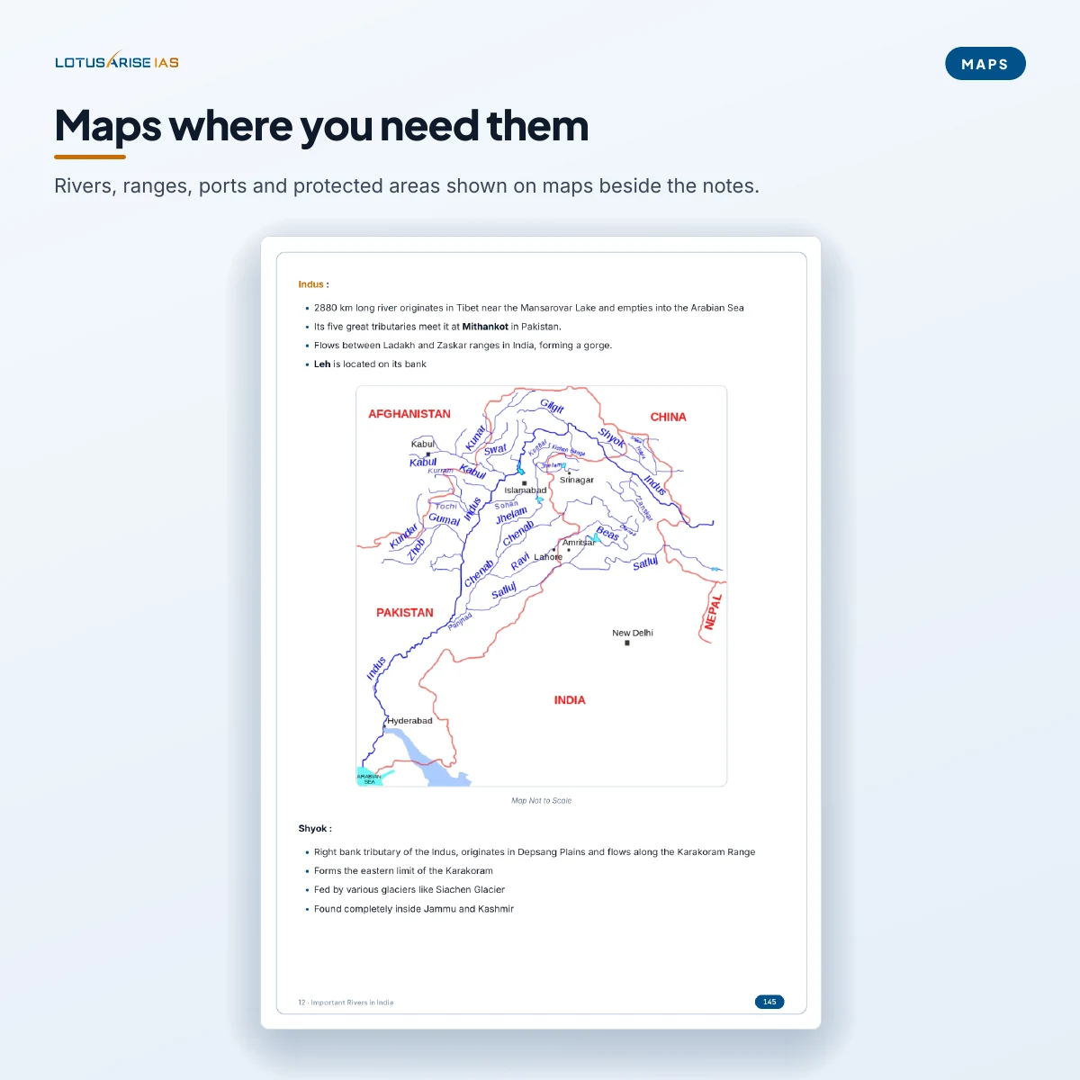
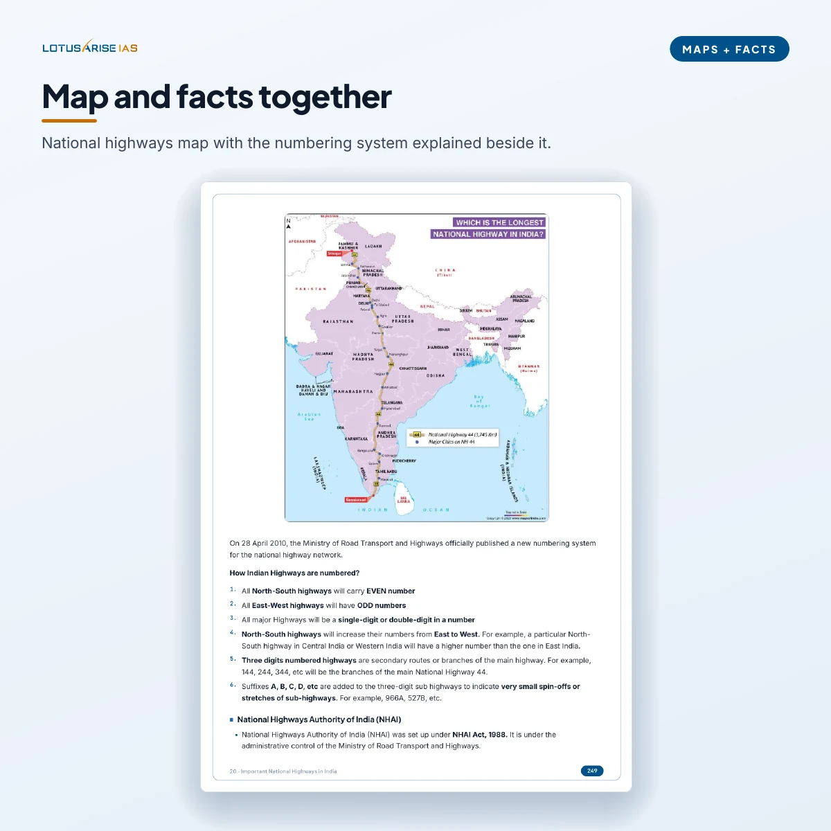
📍 249 maps and figures — locations shown beside the facts, not in a separate atlas
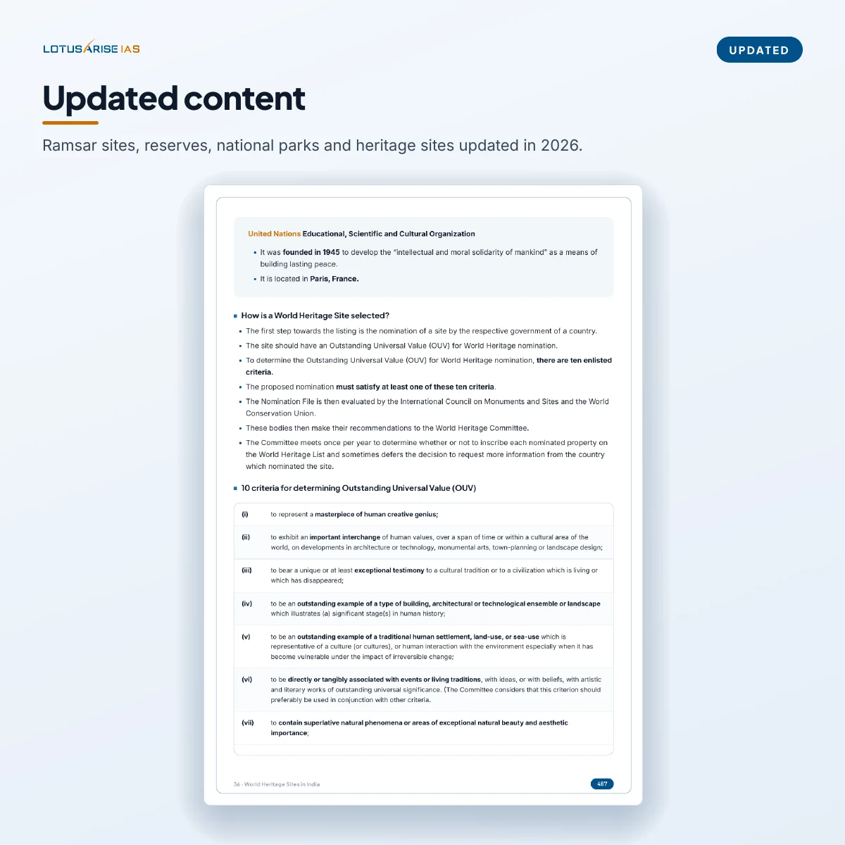
🌿 Protected areas updated in 2026 — 99 Ramsar sites, 58 tiger reserves, national parks, sanctuaries
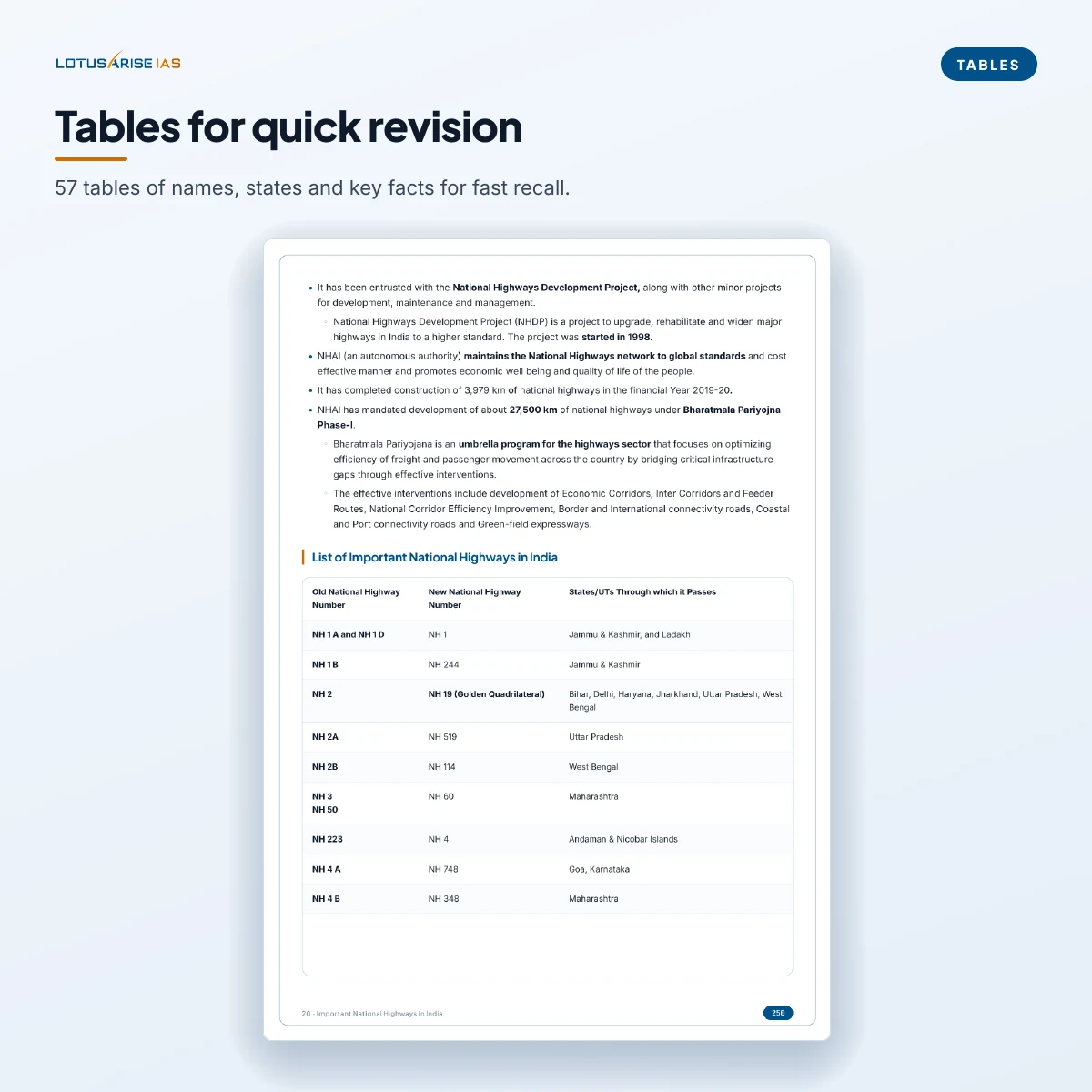
📊 57 quick-revision tables — names, states, rivers and key facts for fast recall
📱 531-page PDF with linked contents — phone, tablet or laptop, offline, printable
Unlimited downloads, no expiry — the PDF is yours to keep.
One-time payment. No subscription. Download link by email right after payment (check your spam folder).
⭐ Bought by 2,300+ UPSC aspirants on the LotusArise store.
Features:
- Comprehensive Coverage
- Complete Syllabus
- Suitable for: UPSC & State PSCs exams
- Format: Digital PDF (Downloadable)
- 337,362+ aspirants visit every month
The problem most aspirants don’t talk about
Ask any aspirant a month before Prelims what worries them about Geography. They won’t say the concepts are hard. They will say one of three things:
“I know the Western Ghats run through six states — but I can’t remember which pass connects which two places.”
“I have a list of national parks, a separate list of Ramsar sites and a tiger reserve chart — all from different years, and they don’t agree with each other.”
“I keep telling myself I’ll do mapping properly with an atlas. I never do.”
None of this is a lack of effort. Mapping facts are scattered across dozens of sources, they change every year as new sites are notified, and an atlas alone tells you where a place is but not why UPSC cares about it. What is missing is one updated book that puts the place, the map and the facts together. Indian Geography Mapping: UPSC Notes is that book.
Why mapping is a smart place to spend your hours
Location-based questions appear in GS Prelims every year — a national park and its state, a river and its tributaries, a pass and the ranges it crosses, a Ramsar site and its wetland type. They are among the few Prelims questions you can get right with certainty rather than by elimination, if the facts are fresh.
The same material does double duty in Mains. Physiography, drainage, water projects and protected areas feed GS Paper I answers on India’s physical geography and GS Paper III answers on environment and infrastructure. A well-placed map or a correct example lifts an ordinary answer.
The challenge is not the subject. It is keeping one current, organised source instead of ten outdated ones.
What’s inside — 531 pages in 8 units
⛰️ Mountains and Highlands — 6 chapters
- Himalayan and Peninsular mountain ranges, with their sub-ranges and states
- Important peaks and hill ranges
- Major mountain passes — Himalayan, Trans-Himalayan and Peninsular
- Important glaciers and volcanoes of India
🏝️ Plains, Plateau, Coasts and Islands — 5 chapters
- The Northern Plains and the Peninsular (Deccan) Plateau and its sub-plateaus
- The Western and Eastern coastal plains
- Important islands of India and beaches along both coasts
🌊 Rivers, Lakes and Waterfalls — 5 chapters
- The Himalayan and Peninsular river systems, river by river, with maps
- Important lakes of India, and the types of lakes with examples from across the world
- Waterfalls of India and the world’s highest waterfalls
🏗️ Dams, Canals and River Valley Projects — 3 chapters
- Multipurpose projects, major dams and the rivers they stand on
- Important canals of India
🚢 Highways, Ports and Waterways — 3 chapters
- Important National Highways, the numbering system and the longest routes
- Major and minor ports, coast by coast, and inland waterways
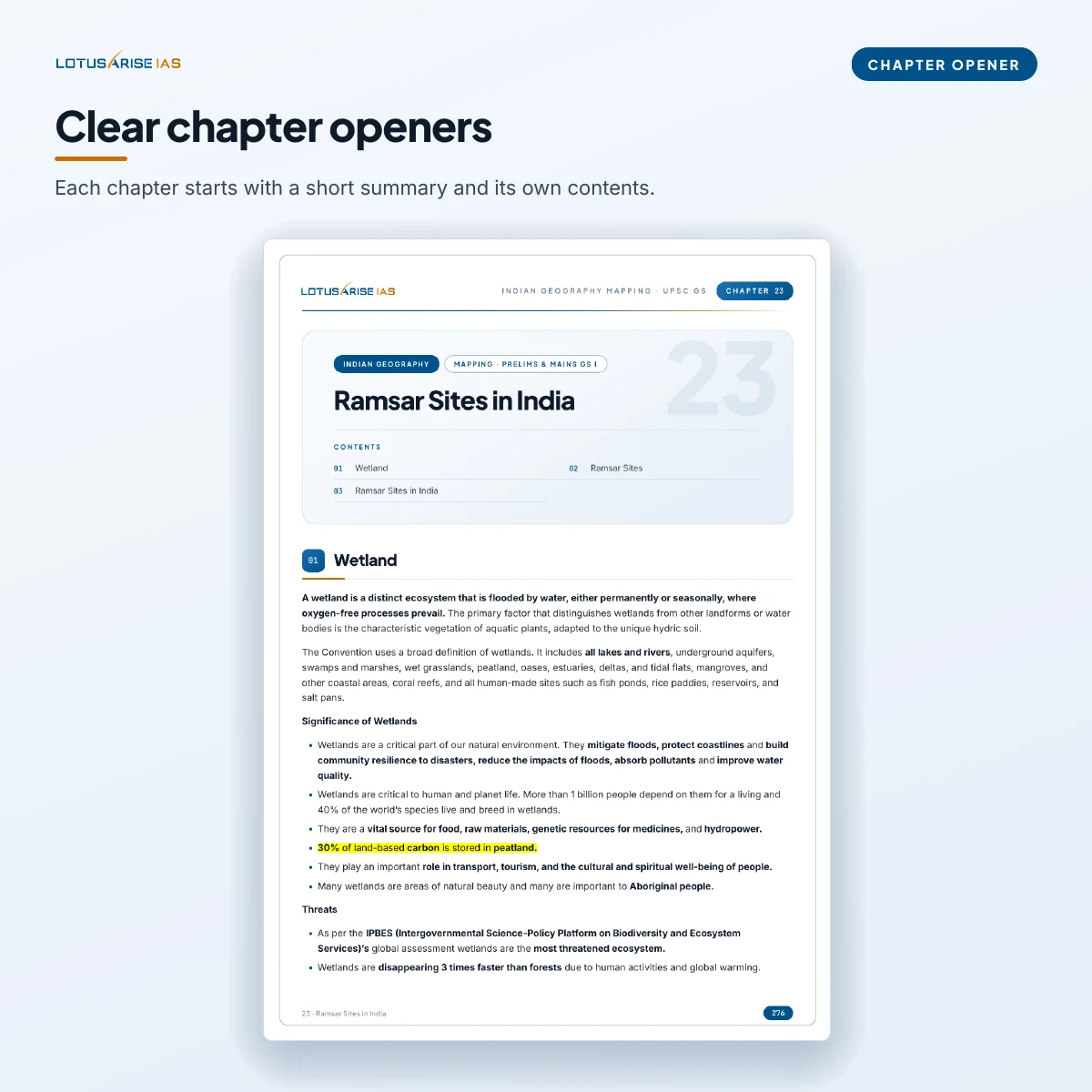
🐅 Protected Areas and Wetlands — 7 chapters
- Ramsar sites in India — 99 sites as of April 2026
- Biosphere reserves, national parks, and tiger reserves (58 as of March 2026) with Project Tiger
- Elephant reserves, bird sanctuaries and wildlife sanctuaries, state by state
⚡ Power Plants of India — 4 chapters
- Hydroelectric, thermal and nuclear power plants
- Ultra Mega Power Projects
🛕 Places of India — 4 chapters
- Important hill stations and religious places
- World Heritage Sites in India
- Important cities of India and what each is known for
What makes this different from a downloaded PDF? Every chapter keeps the map next to the facts it explains, so you learn the location and the reason together. The protected-area chapters — Ramsar sites, tiger and elephant reserves, national parks, biosphere reserves and sanctuaries — were updated in 2026, so you are not revising lists that stopped counting in 2022. And the whole book follows one order, from the Himalaya down to the coasts, rivers, projects and places, so revision has a path instead of a pile.
Also included with your purchase: the Descriptive Version PDF of Indian Geography Mapping.
The aspirant who buys this
First-timers — You want one trusted mapping source from day one instead of collecting lists. Read a unit alongside your Geography basics and the places stick because you met them with a map.
Repeaters who lost Prelims marks on location questions — The concepts are there; the gap is recall of names, states and the latest additions. The tables and the updated protected-area chapters are built for exactly that last-month revision.
Geography Optional aspirants — Indian physiography, drainage and resources are core to Paper II. This book gives you the place-level detail and examples that make an answer specific.
Self-study aspirants outside Delhi, Prayagraj and Jaipur — No classroom, no mapping sessions. You get the same organised coverage as a PDF you can read anywhere.
Working professionals — Twenty minutes a day, one chapter at a time, on your phone. No batch, no schedule, no expiry.
Why not just use free maps and lists from Telegram?
Free lists exist, and most aspirants already have several. The trouble is that they come from different years, they rarely carry maps, and nobody tells you when a list stops being current. A Ramsar list from 2022 is missing more than twenty sites. A tiger reserve chart from two years ago is missing new reserves.
The difference is not that free material is wrong. It is that nothing ties it together or keeps it current. This book does both — one order, maps beside the facts, protected areas updated in 2026.
If you have the time to build and keep updating your own mapping file from scattered sources, you may not need this. If you would rather open one book and start revising, this is what it is for.
The price
A single mapping module elsewhere often costs more than this whole book.
531 pages, 37 chapters, 249 maps and figures — ₹118.
One-time payment. No subscription. No recurring charge.
The download link reaches your email right after payment — please check your spam folder if you do not see it. Unlimited downloads, no expiry.
For support: support@lotusarise.com
You may also like…
-

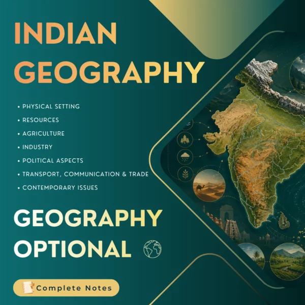
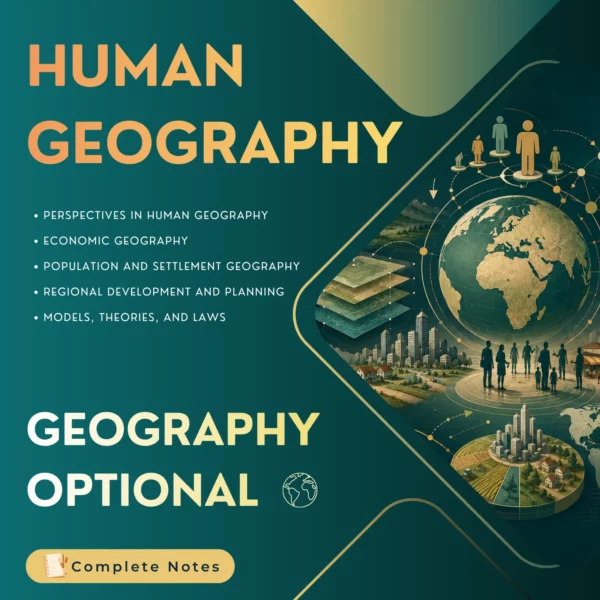
#OFFER: Geography Optional Complete Notes (PDF) – UPSC Mains (Paper I & II)
Original price was: ₹1,600.00.₹1,180.00Current price is: ₹1,180.00.

Related products
-
-
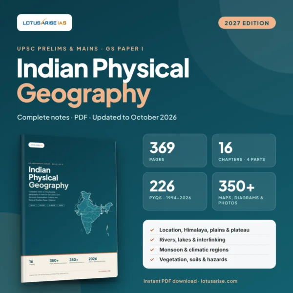
Indian Physical Geography Notes for UPSC: Prelims & Mains GS Paper I (2027 Edition) by LotusArise IAS
Original price was: ₹300.00.₹149.00Current price is: ₹149.00. -
-
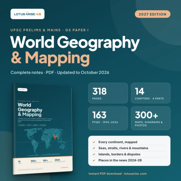
World Geography & Mapping Notes for UPSC: Prelims & Mains GS Paper I (2027 Edition) by LotusArise IAS
Original price was: ₹300.00.₹149.00Current price is: ₹149.00.